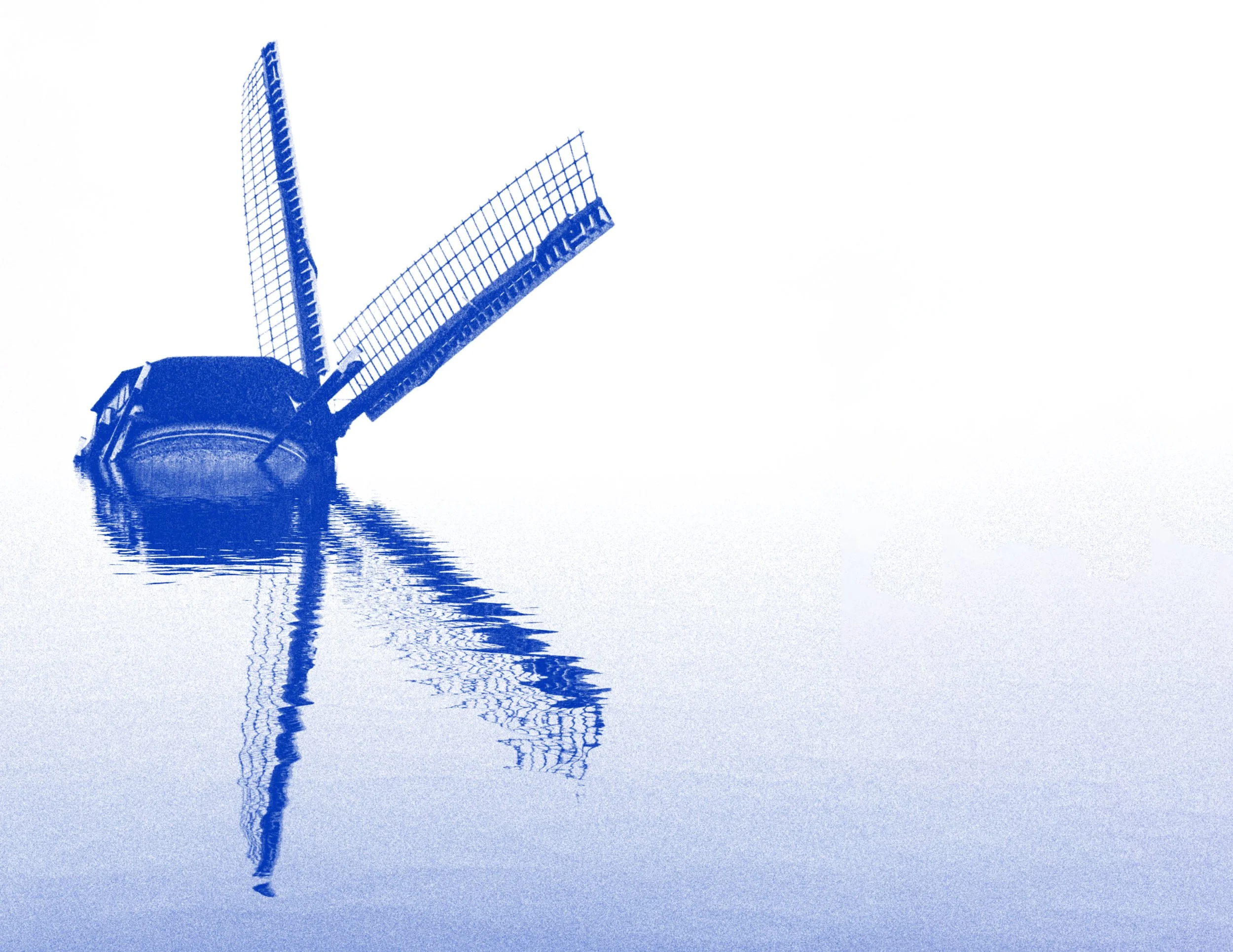
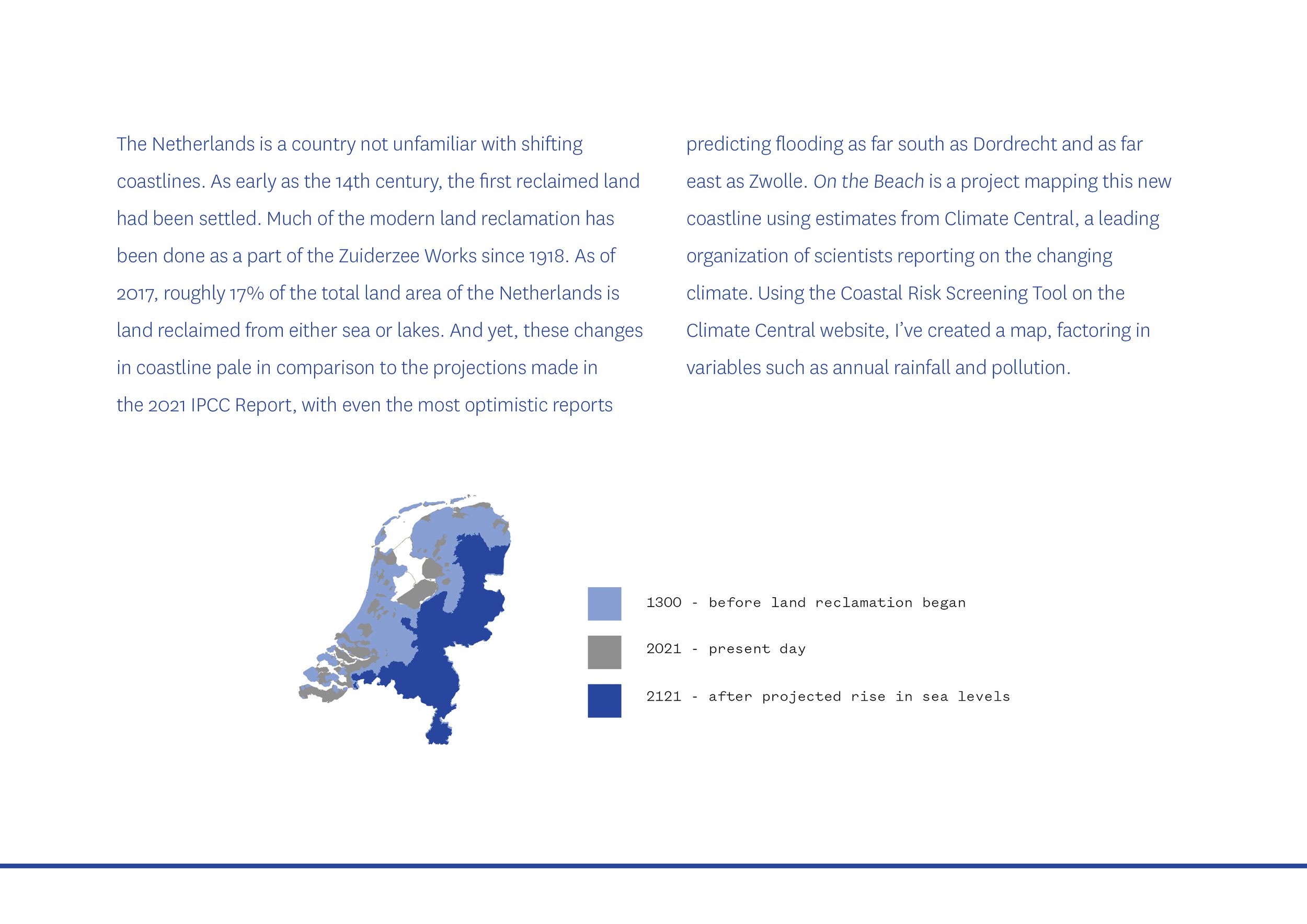
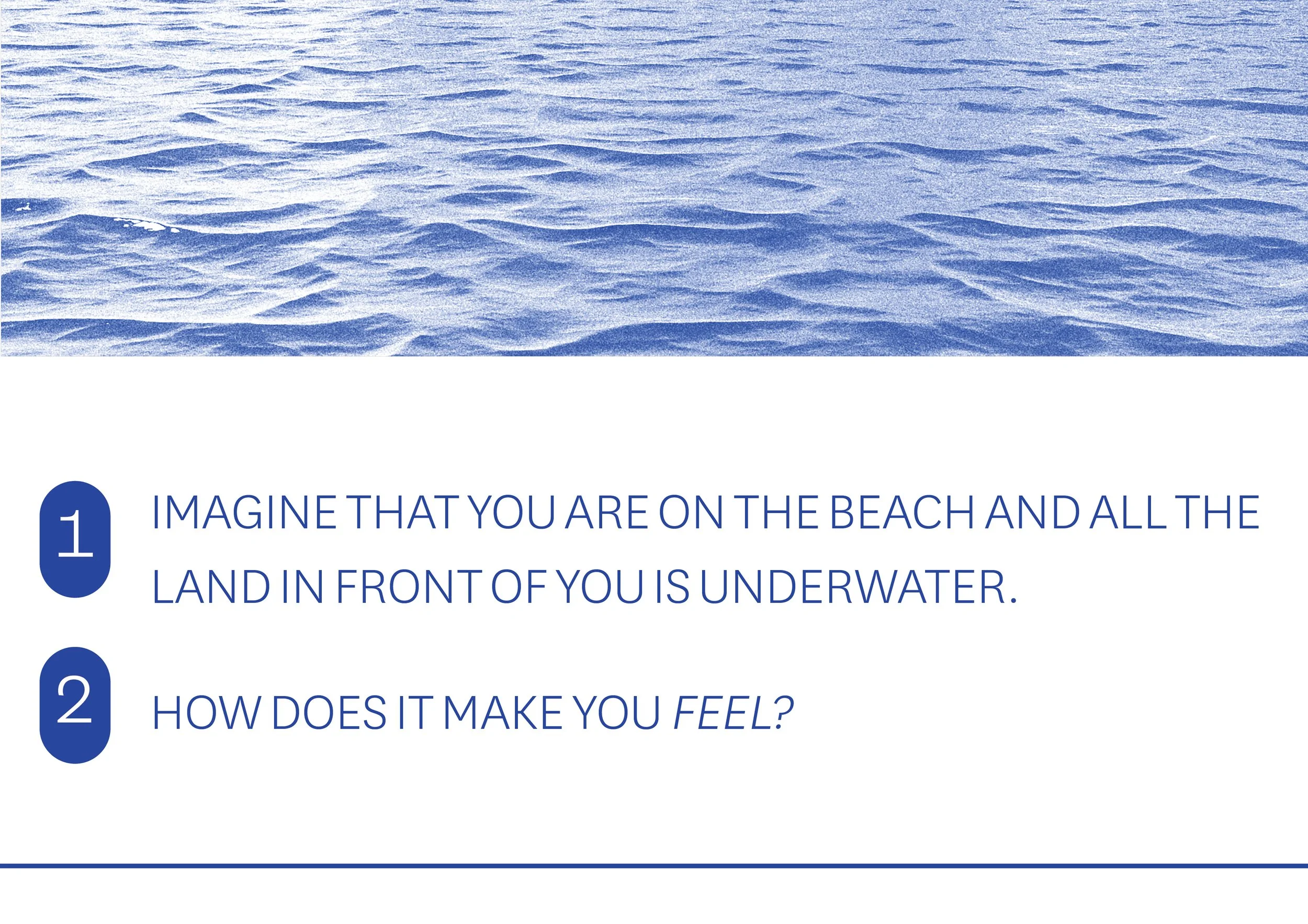
On the Beach
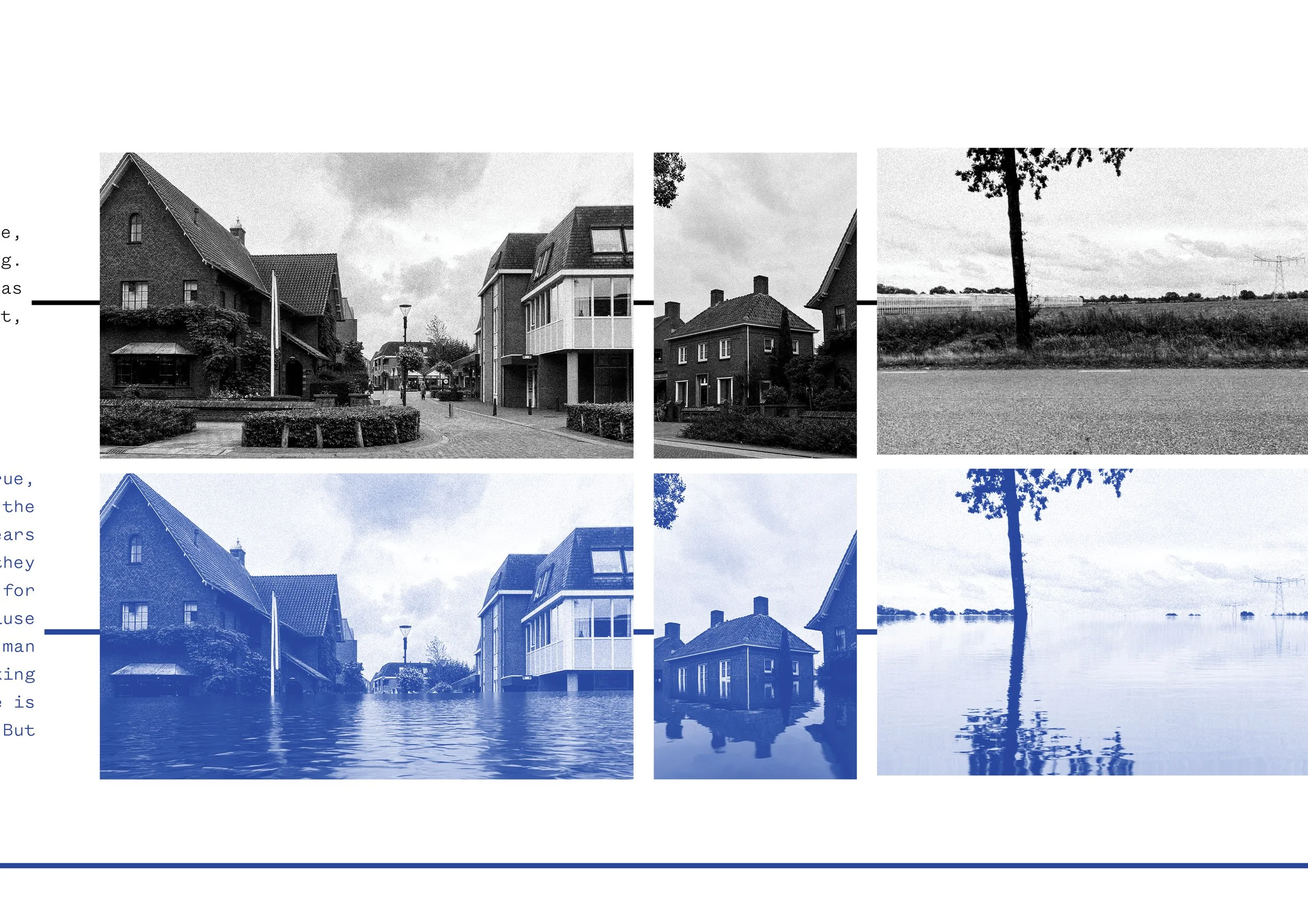
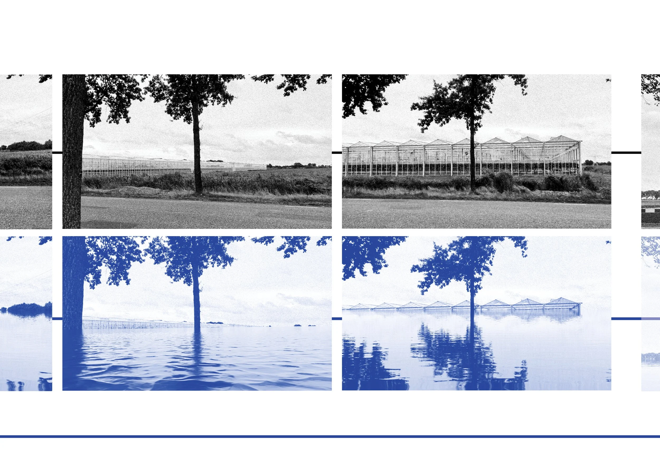
Mapping the projected coastline of the Netherlands in the year 2121.
Mapping Borders
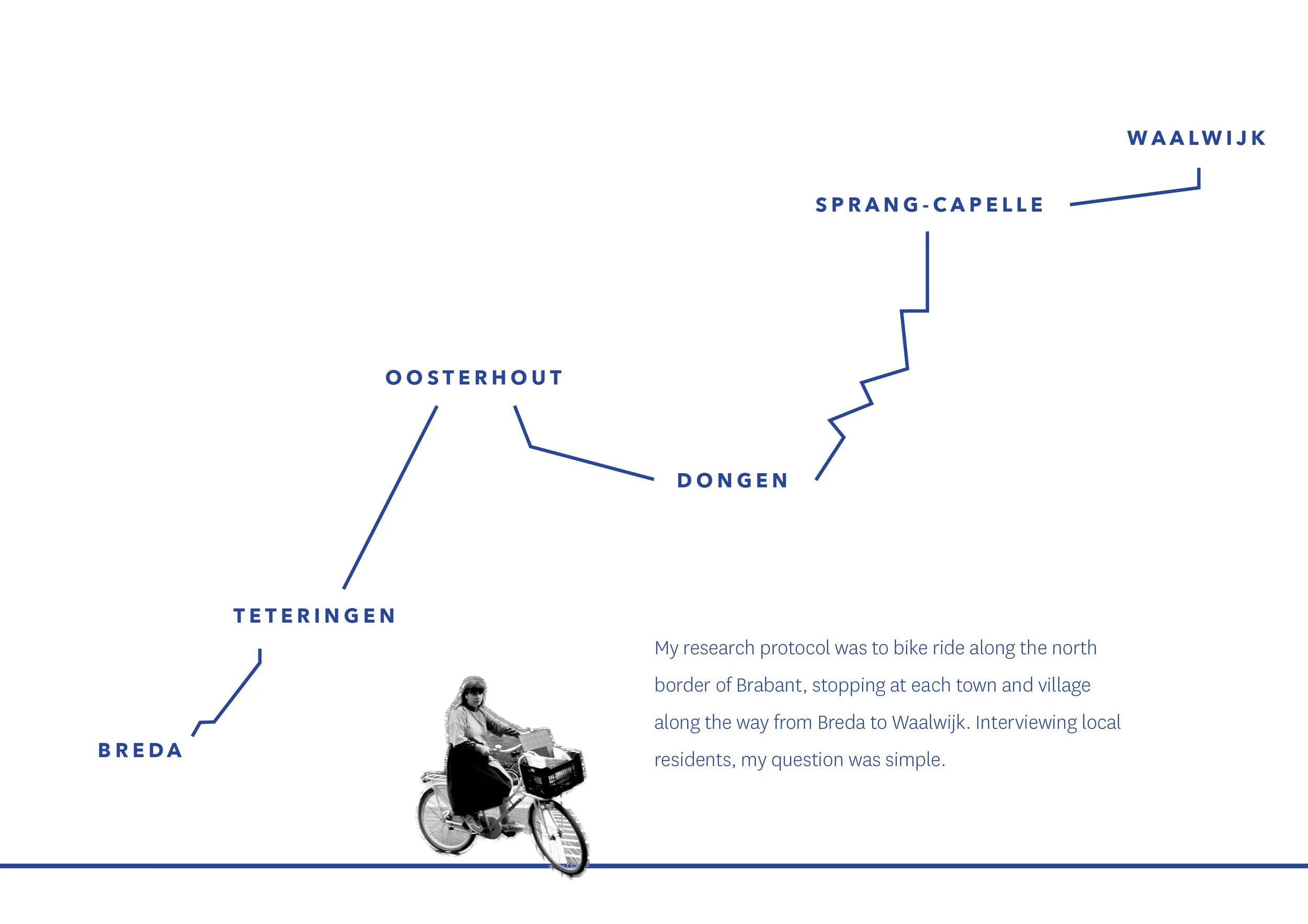
On the Beach is a project I worked on as part of a study on mapping and cartography, specifically the mapping of borders. I was given the brief to choose a border and study it over the span of a trimester, going into the field, making observational drawings, canvasing residents along the border through interviews and photographs.
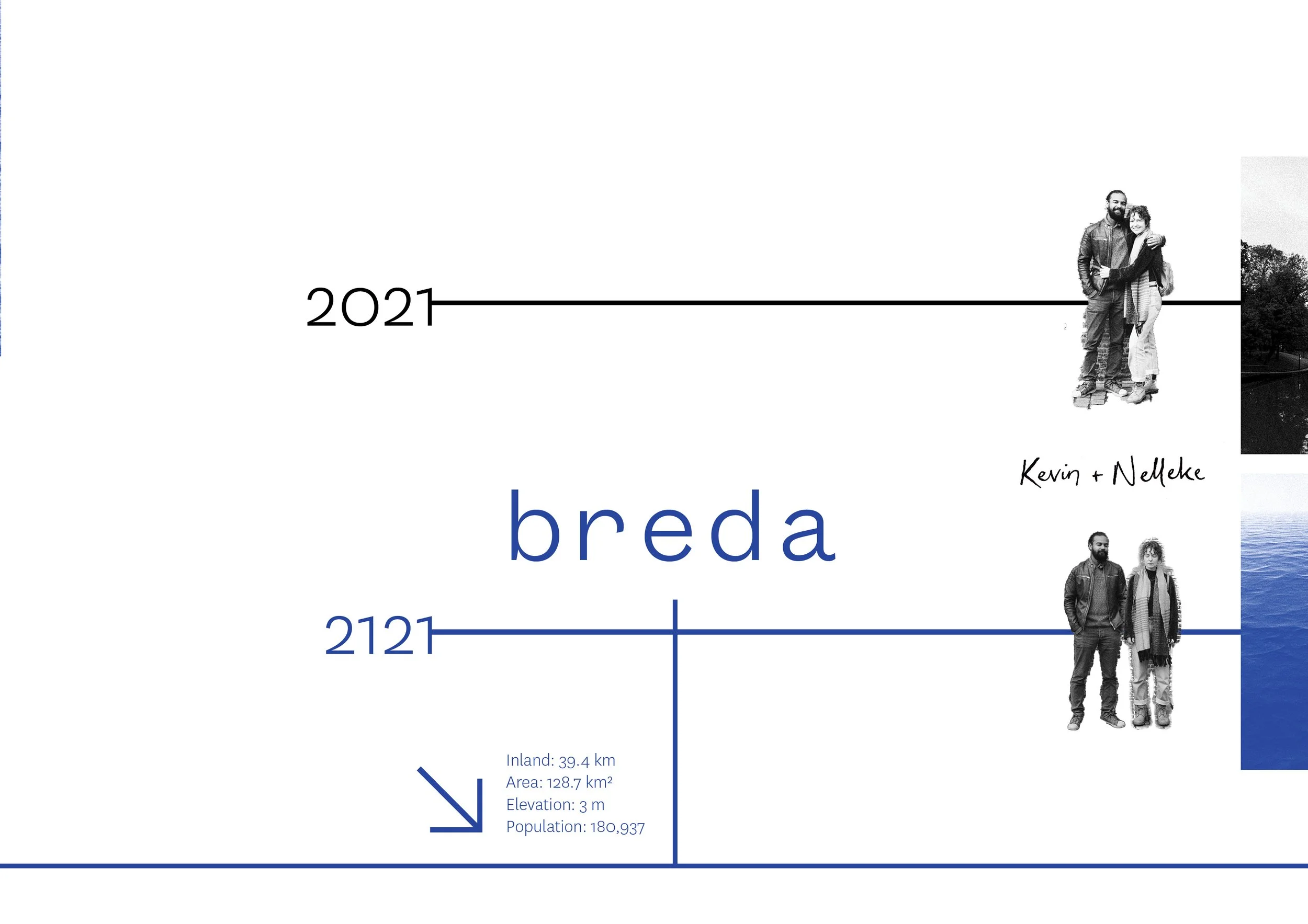
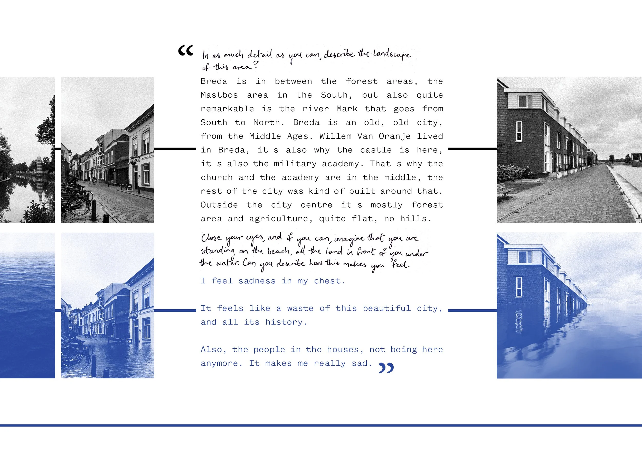
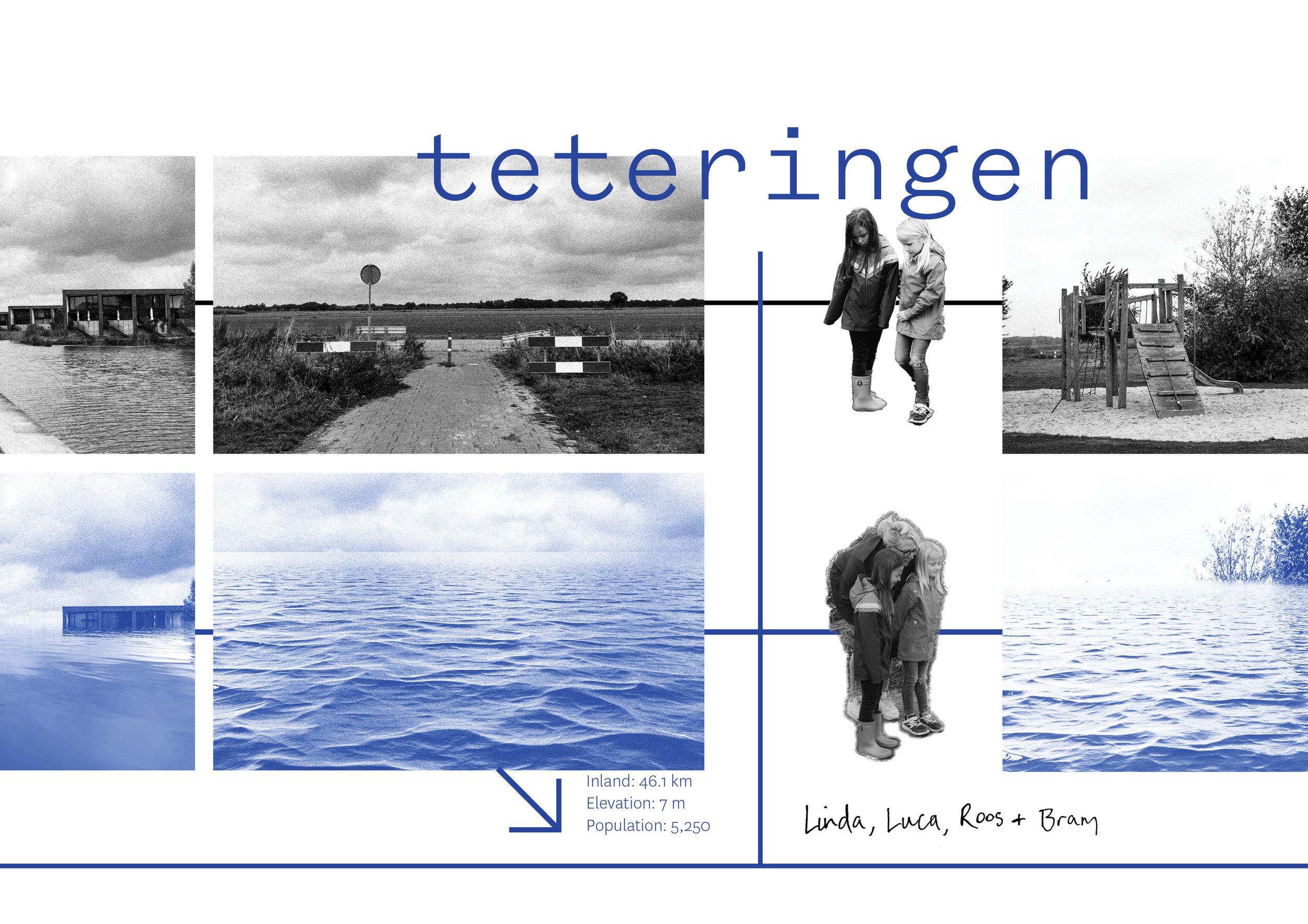
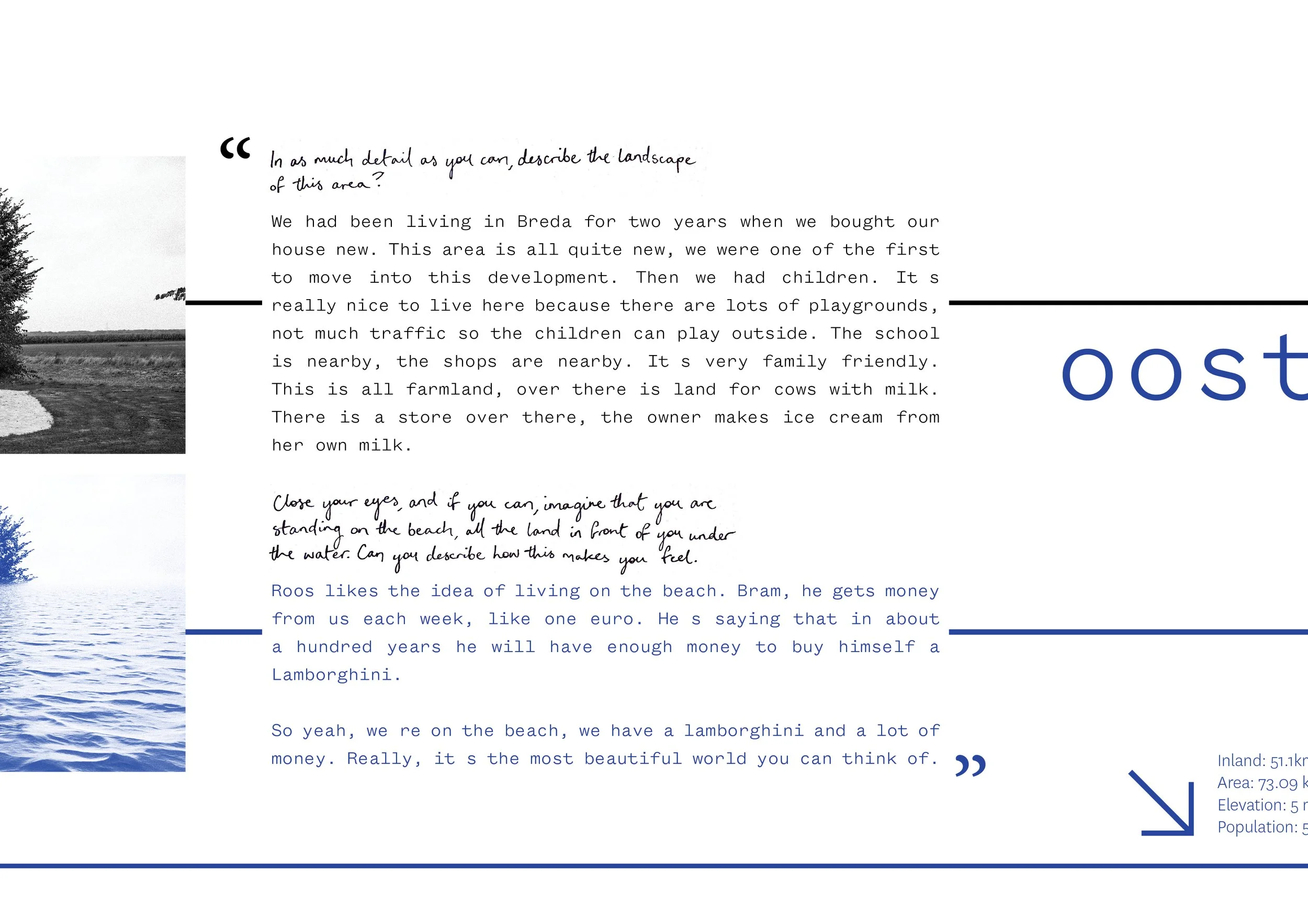
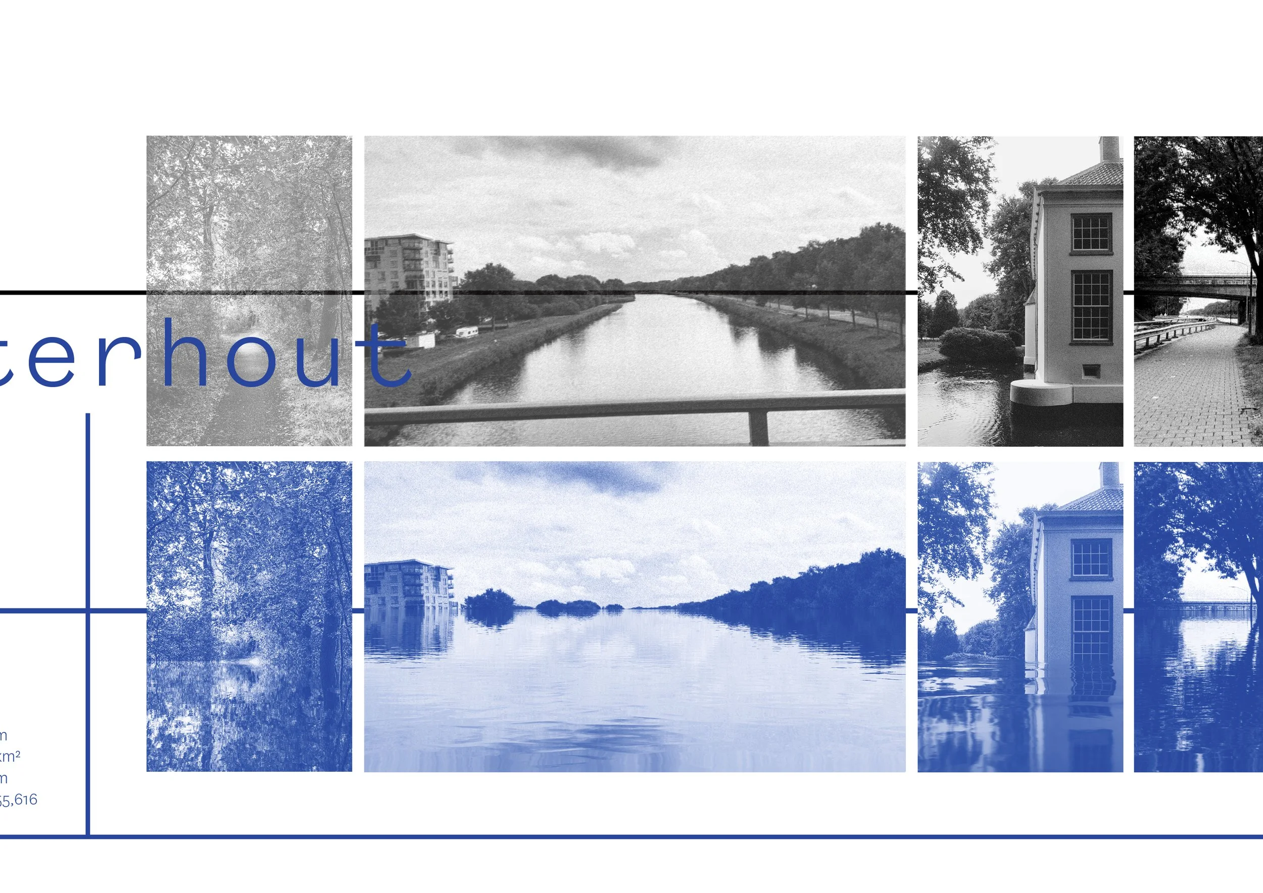
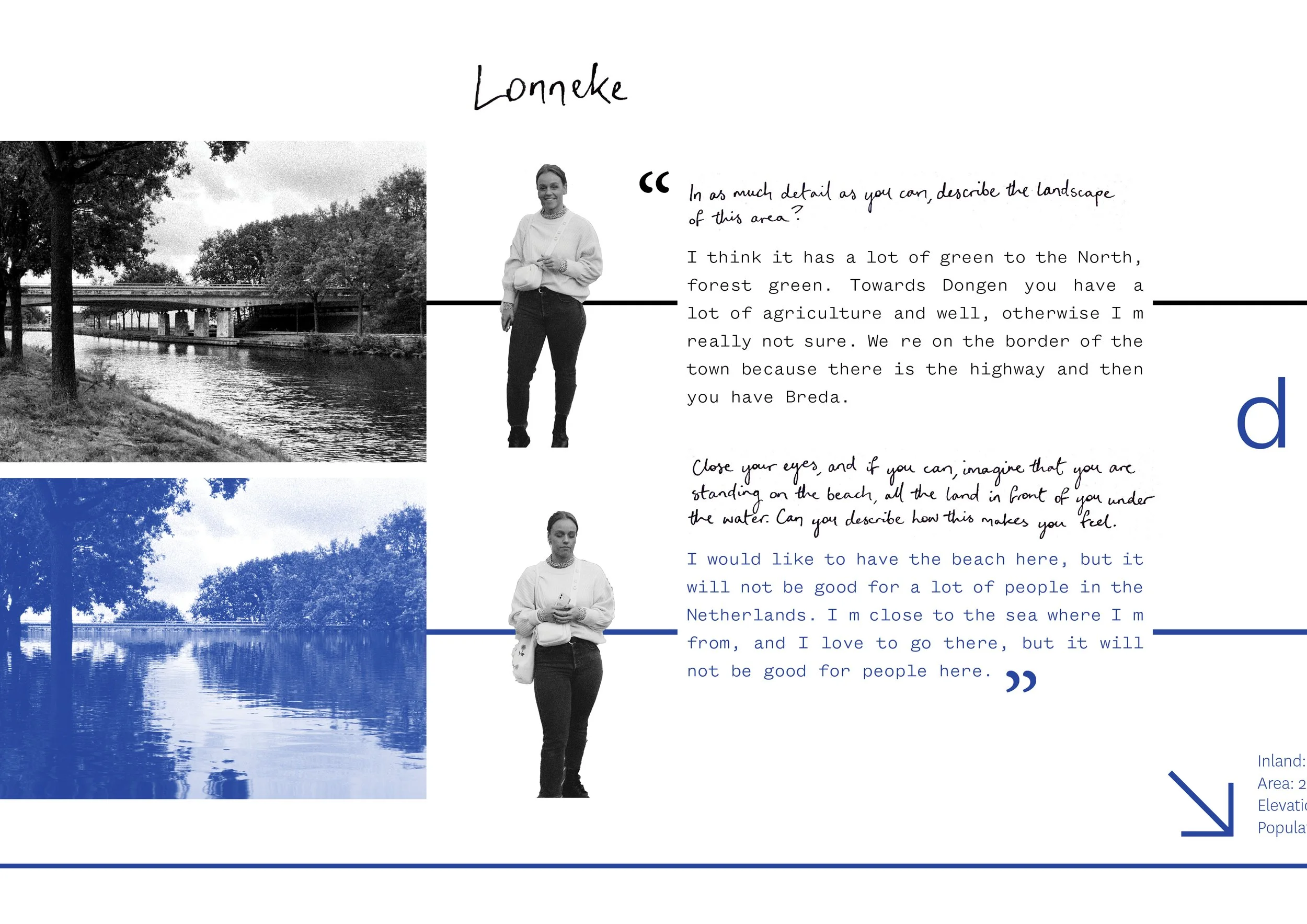
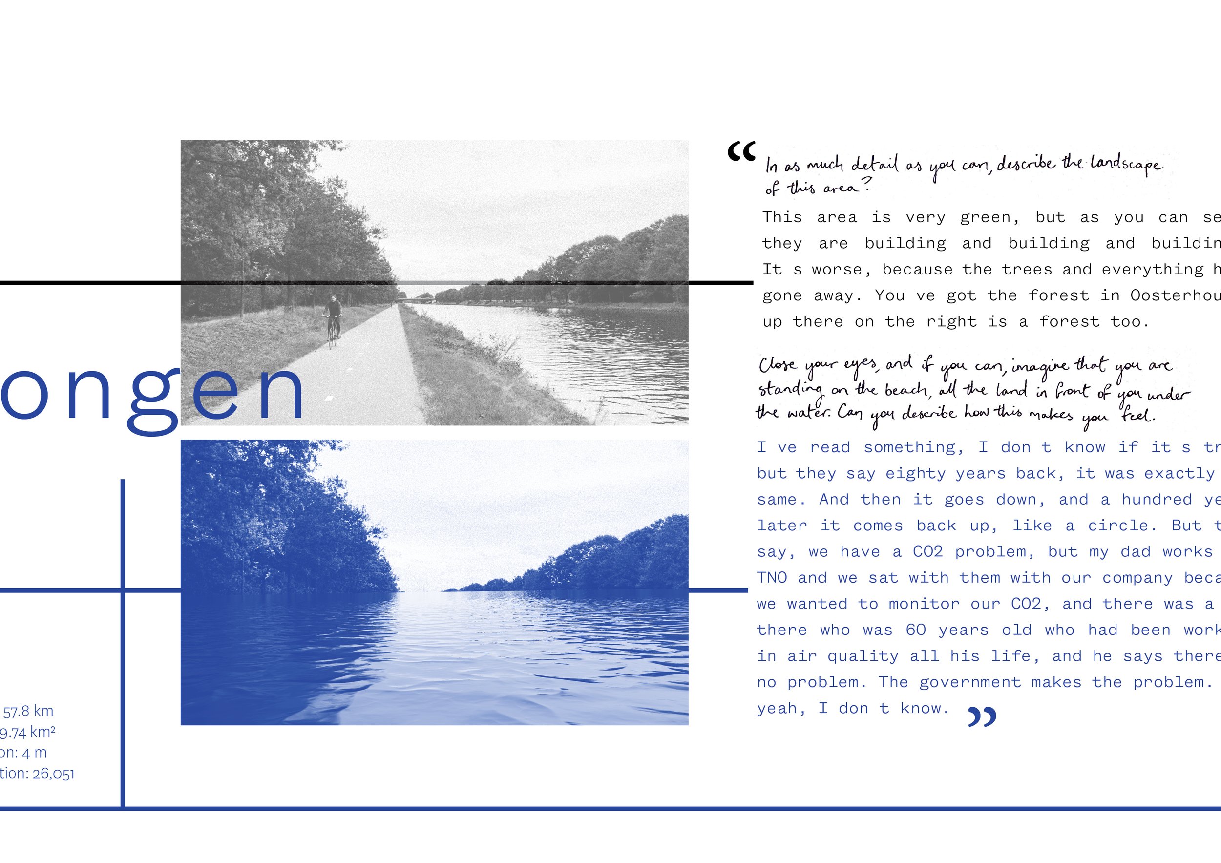
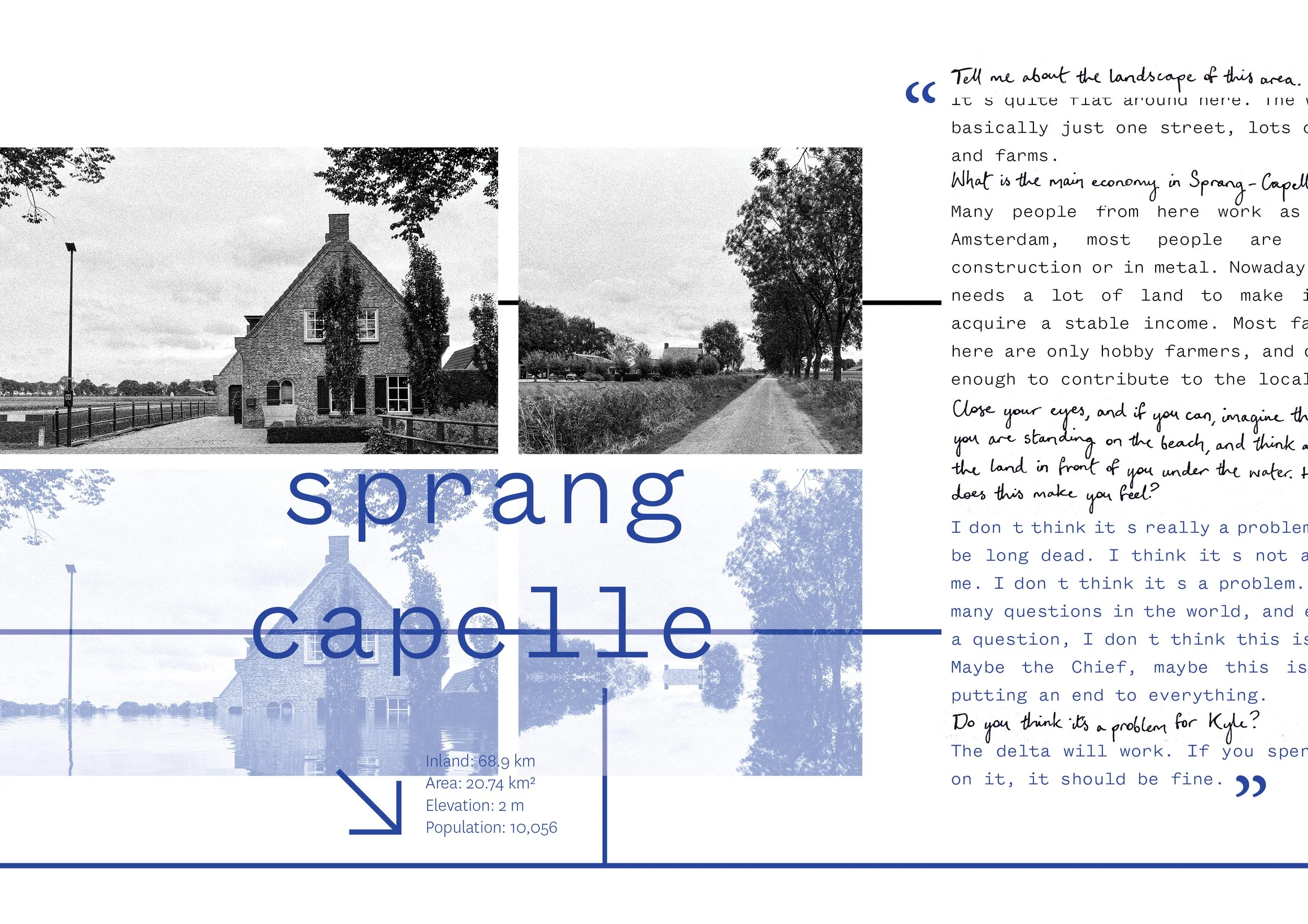
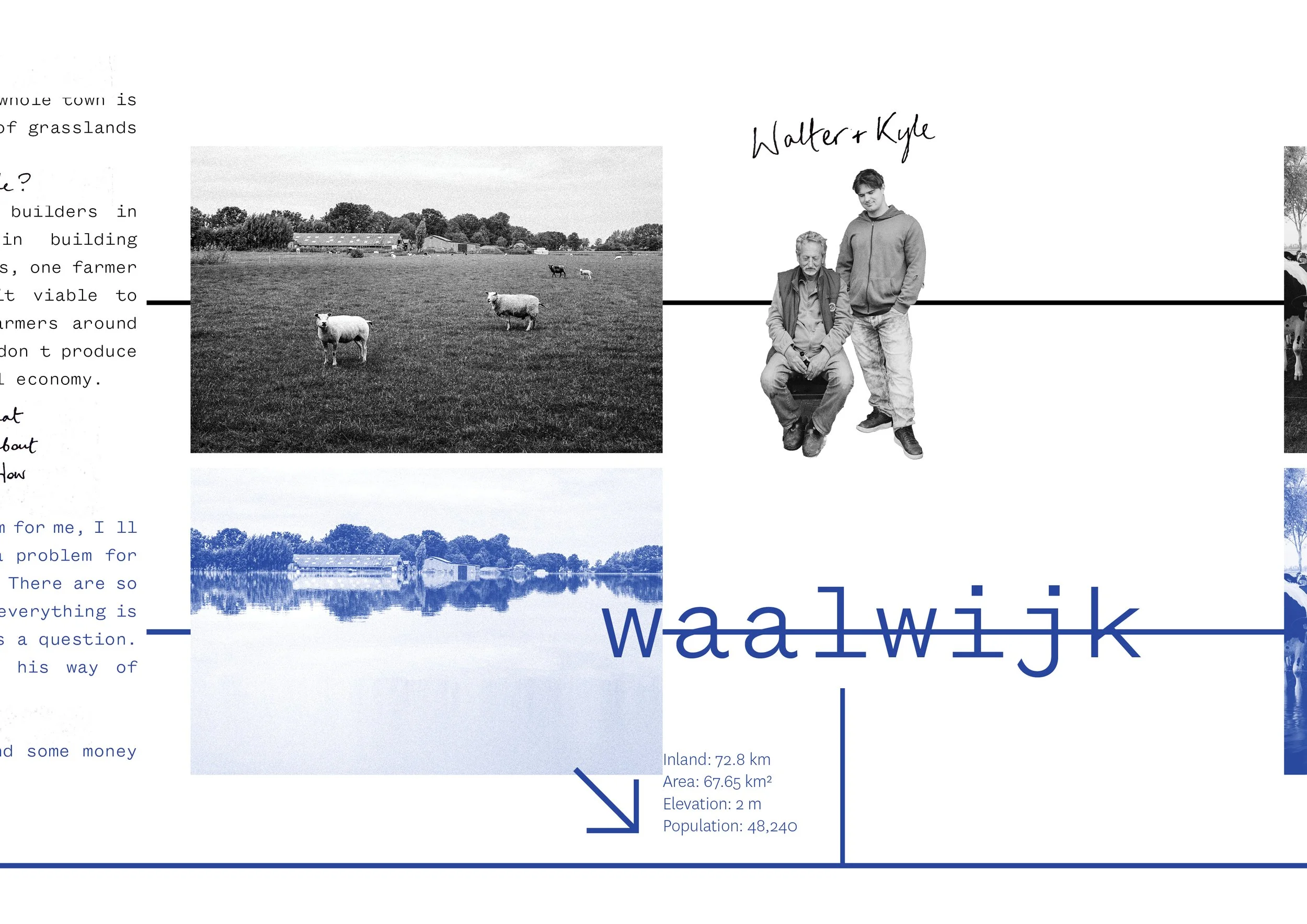
I chose to map the projected coastline of the Netherlands in the year 2121 by riding my bike along a 50km stretch of the Nord Brabant border, speaking to locals I met along the way. The purpose of this was partly to understand and familiarise myself with my new surroundings, but mainly for me as an Australian to gauge the Dutch perspective on the climate breakdown. Speaking to a wide range of people from various social demographics opened up a broad spectrum of opinions on climate change, land use, local economy, COVID-19, and politics as a whole.
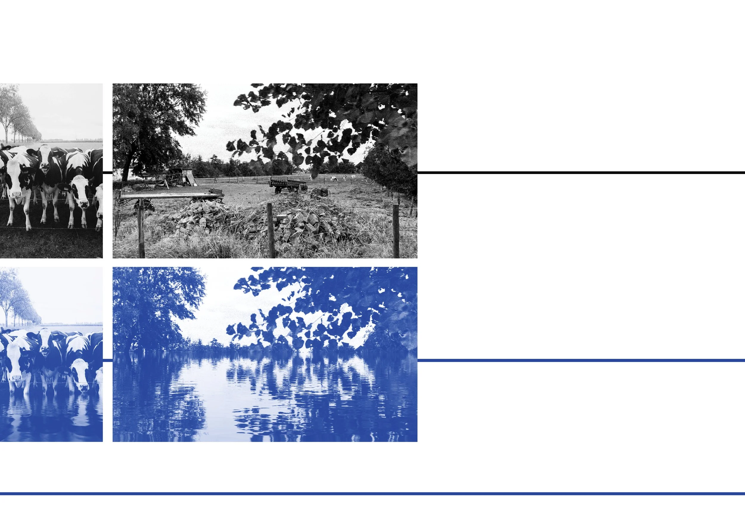
The final project was a 16 page double-sided document in the shape of a leporello that was presented as part of my end term exhibition.

Neeltje ten Westenend, DAE Lecturer
“You rapidly found a clear topic and research method on the subject. You added speculative, political and performative aspects to the fieldwork, well done for that. You are showing us Dutch citizens something that we rather would not like to see. That is what mapping in the best case can do: make things that are invisible visible. The final output is clean on a graphical level and you managed to push it into a more radical dimension during the process. Keep working and experimenting into this direction with the engaged energy you have because there are many things to discover and uncover in the future of design.”